
Five bases for understanding the valley
The main route follows the Santa River. Lakes, glaciers and archaeological sites are usually reached by side roads, so do not estimate a visit by straight-line distance and always confirm return transport.
Recuay · southern gateway
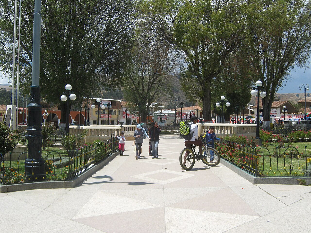
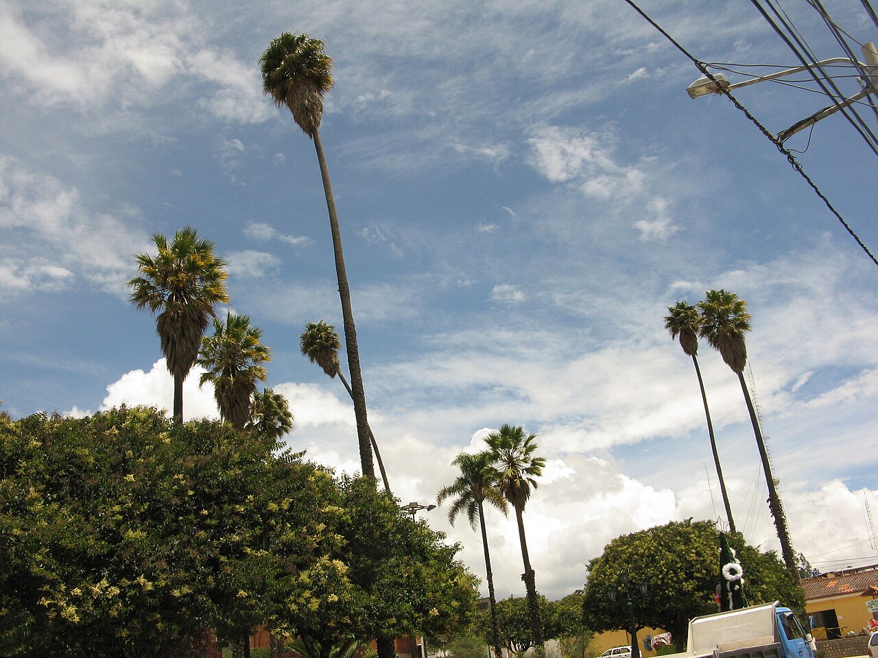
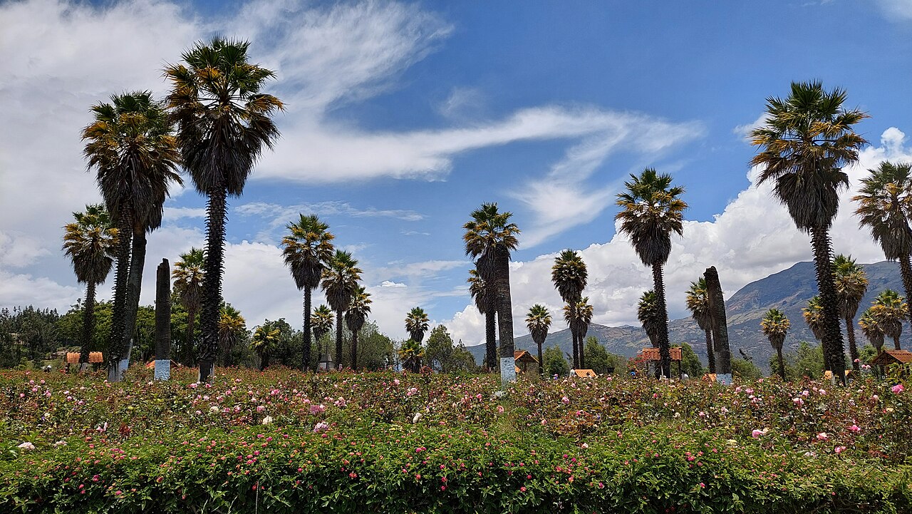
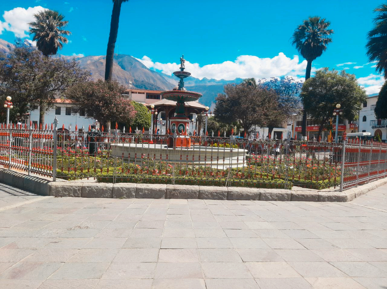
Recuay marks the southern entrance to the Callejón. The province connects with Lake Querococha and the route toward Pastoruri, and has local attractions such as San Patricio Cave. It is a useful stop for understanding the high-Andean landscape before reaching Huaraz.
Huaraz · services and cultural hub
This is the corridor’s main base for accommodation, operators and transport. Do not use it only as a place to sleep: visit the Archaeological Museum of Ancash, Plaza de Armas, La Soledad and the Willkawain complexes.
Carhuaz · central valley and communities
Carhuaz offers a slower stop and connections toward Honcopampa, Vicos and the Ulta valley. Its plaza, market and local food invite time with valley life rather than only mountain viewpoints. Check with the tourism office which community access routes are operating.
Yungay · memory and Huascarán access
Campo Santo preserves the memory of the city buried by the 1970 avalanche and should be visited respectfully. Yungay is also a gateway to Llanganuco and several Huascarán National Park routes; access depends on current conditions and rules.
Caraz · northern base of the Callejón
Caraz is a base for Lake Parón, the Alpamayo area and onward travel toward Cañón del Pato. In town, the Hernán Osorio Herrera Municipal Museum adds local context; verify opening before traveling.
How much time?
2–3 days: Huaraz plus one or two towns, without adding long hikes. 4–6 days: allows urban centers plus Llanganuco, Parón, Pastoruri or another side trip, with room to acclimatize and check access.
Getting between towns
- Buses and shared vans run along the valley, but last departures and pickup points change. Confirm locally.
- Side trips to lakes and valleys often require another vehicle, a tour or community coordination.
- Avoid chaining too many stops in one day: altitude, traffic, roadworks and weather change travel times.
- At Campo Santo and other memorial spaces, keep noise low, follow signs and avoid intrusive photography.