Why go
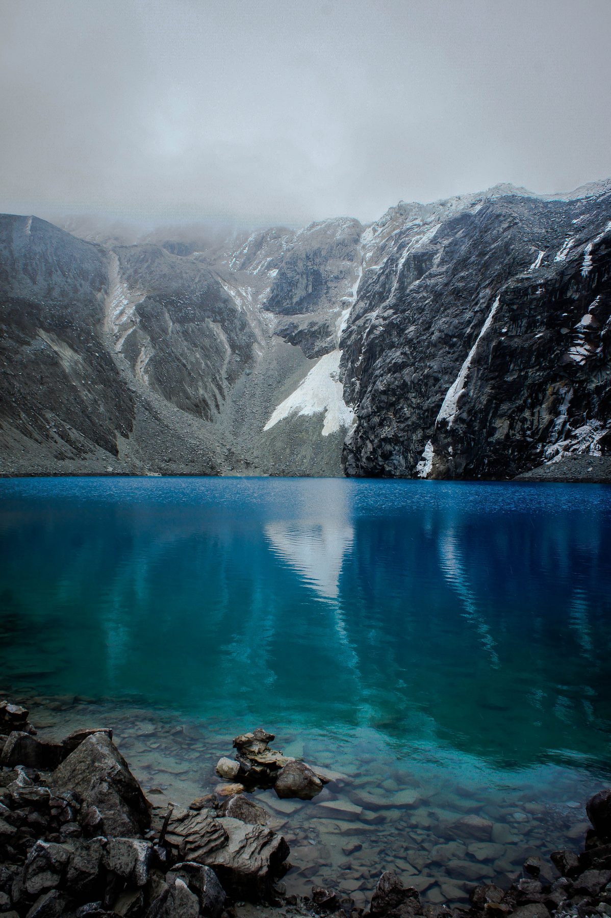
Laguna 69 rewards a demanding hike with turquoise water beneath Chacraraju. Starting at Cebollapampa, the trail climbs through a glacial valley of woodland, open grasslands, waterfalls and constantly changing views. The final color is memorable, but the full landscape sequence is the real experience.The trail from Cebollapampa
The route alternates gentler sections with sustained climbs. Waterfalls, high-Andean plants and intermediate lakes make it more than a path to a single photograph.
Tour or independent transport
Tours simplify transfers and set a return time. Independent travel gives more control over pace, but requires a confirmed return rather than hoping to find a vehicle late in the day.
Common mistakes
- Attempting it on the first day in Huaraz.
- Carrying too little water or food.
- Starting late and descending near darkness.
- Underestimating the descent after a slow ascent.
- Continuing only because the group continues.
Alternatives
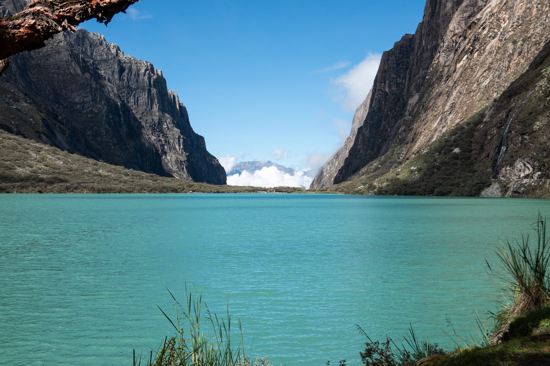
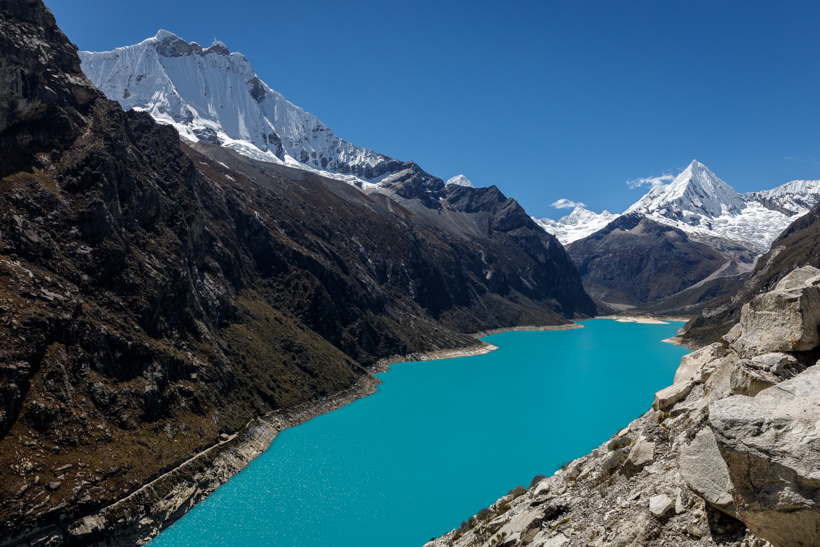
If you are not ready for the hike, Llanganuco offers the same great valley with much less effort. Parón provides a different glacial-lake experience with road access to the shore.
How to get there
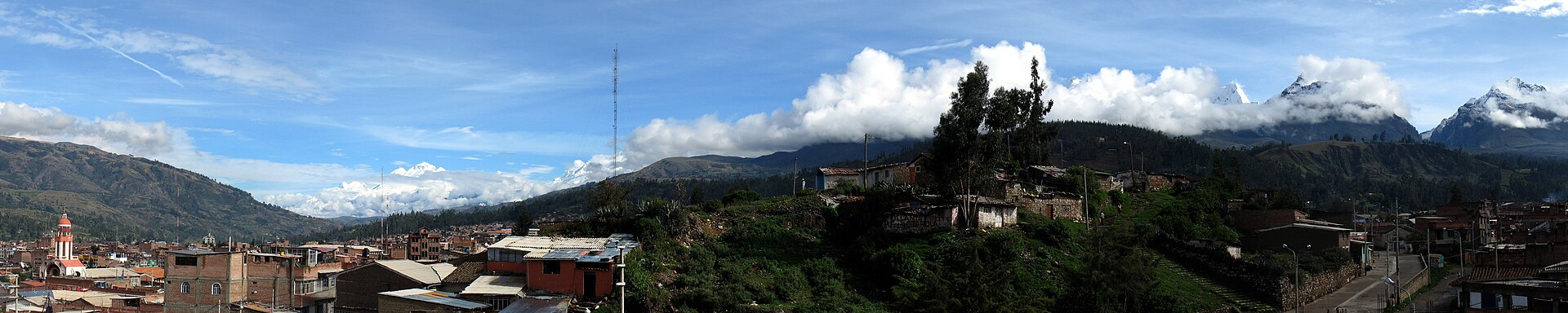
The usual journey combines a drive from Huaraz or Yungay through Llanganuco to Cebollapampa, followed by an out-and-back hike. A tour solves transport; independent travelers must confirm the drop-off, return schedule and a reliable way back before starting.Before you go
Complete a lower activity first and assess how your body responds. Start early, keep a steady pace and set a turnaround time. Reaching the lake is never mandatory if fatigue or symptoms increase.What to bring
Enough water and food for a long day, broken-in hiking shoes, warm layers, a waterproof shell, hat, sunscreen and a bag for all waste.The best photograph
The waterfalls and valley deserve stops before the lake. At the shore, use vegetation or rock as foreground and never climb unstable slopes solely for a photograph.Safety
This is a long hike ending near 4,600 metres. If worsening headache, strong nausea, loss of coordination or breathlessness at rest develops, stop ascending and seek help.Frequently asked questions
Is this a first-day hike?
It is not a good choice for most newly arrived travelers. Begin with a lower, progressive activity.
Can I reach the lake without walking?
No. Vehicles reach the trailhead at Cebollapampa; the lake itself is reached on foot.
Sources and verification
Operational details can change. The following primary sources were consulted:
Parque Nacional Huascarán — SERNANPHuascarán National Park — UNESCO World Heritage Centre